Plan Your Trip
Gray's Reef is a popular location for recreational diving and fishing. Recreational divers and anglers like yourself play a vital role in keeping the sanctuary habitats healthy for generations to come. Support your sanctuary by practicing sustainable diving and fishing techniques.
New and avid boaters alike should review safe boating practices, check current and forecasted weather conditions, and ensure the correct gear is loaded and safely stored on the vessel. Boater safety is a critical part of recreational diving and fishing. To make it easy to remember what to do when you're on the water, we've created a checklist for you below.
Boating Safety Tips and Tools
Pre-Trip
- Will a storm move in while you're on the water? Check NOAA's marine forecast and be in the know before you go.
- Use your NOAA Weather Radio to stay alert to weather hazards in the area.
- Review local weather forecasts.
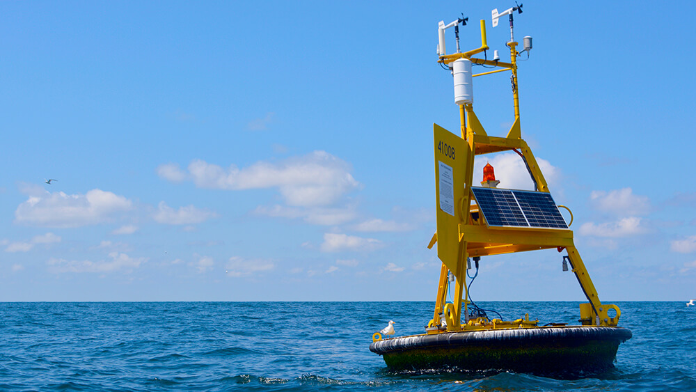
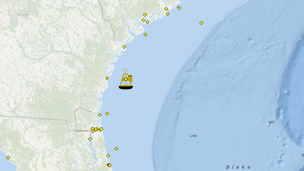
- Check the Gray's Reef Weather Buoy (Station 41008) for current sea state information including information on wind speed and direction, wave heights and period, air and water temperature, and an image of the sea conditions.
- Have a storm plan in place unique to your type of boat, gear and marine environment. Be sure anyone who fishes or dives with you knows how to execute the plan.
While Aboard
- Every passenger should wear a life jacket. Always. Take the 'Wear It' Pledge.
- Perform a VHF marine radio check on VHF Channel 09, which has been designated by the FCC as a boater's calling channel.
- Understand the danger of cold water and how to prepare for and survive in it should you accidently go overboard.
Recreate Responsibly
- Know wildlife-viewing and fishing regulations for the location you'll be enjoying and boat responsibly while enjoying Gray's Reefs and other pristine and protected underwater parks.
- Have your fishing active license based on where you're docking or transiting from:
- Boat clean and green. Secure all trash onboard, and don't dump it overboard. Help prevent small oil spills if you have a vessel with an engine. Help reduce the amount of debris that enters Gray's Reef and other waterways by bringing all trash back to shore for proper disposal in trash cans or recycling bins, including fishing line and other fishing gear. Many docks, piers, boat launches, and fishing supply shops have bins to collect monofilament for recycling. For more information on marine debris and what you can do to help, visit the NOAA Marine Debris Program page.
- "See A Spout, Watch Out." It's so exciting to encounter a whale when you're out on the water. Know how far away you must stay from these beloved marine mammals for their and your safety. Boat strikes can kill whales and seriously injure passengers.
- Nothing can ruin a trip faster than not having a vital piece of gear when you need it. While it is important to ensure you have the correct gear before leaving the dock, it is just as important to stow gear properly to ensure it is not damaged or lost during your outing. Some gear, such as anchors and spearguns, must be stored at all times while in the sanctuary. For regulations on gear, please visit our best practices.
Additional Resources
Additional resources for recreational boaters from the National Ocean Service and National Oceanic and Atmospheric Administration.
Find other ways to Get Into Your Sanctuary.
National Data Buoy Center
The NOAA National Data Buoy Center provides quality observations in the marine environment in a safe and sustainable manner to support the understanding and predictions of changes in weather, climate, oceans, and coast. The Center maintains a network of data buoys and coastal stations along the entire U.S. coast and various locations internationally.
NOAA's Pacific Marine Environmental Laboratory (PMEL) is a federal laboratory that makes critical observations and conducts groundbreaking research to advance our knowledge of the global ocean and its interactions with the Earth, atmosphere, ecosystems, and climate.