Tracking Currents with Drifters and Dye

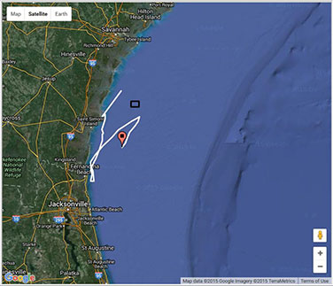
Photo:Google
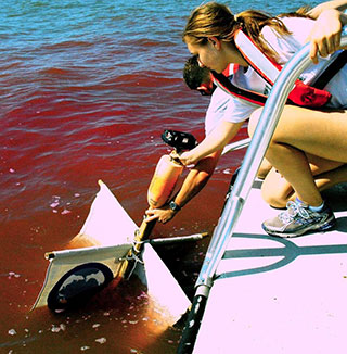
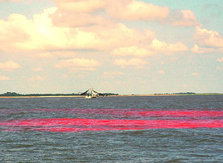
On Tuesday, September 1, 2015 researchers from Georgia Southern University and Gray's Reef National Marine Sanctuary released 50 gallons of a non-toxic red dye (rhodamine WT) into the Altamaha River.
The resulting plume of dye will be monitored visually and with instrumentation as the dye flows from the release point along the Georgia coast and offshore.
Tracking the path of the dye will provide estimates of the extent to which the Altamaha River outflow delivers dissolved contaminants, nutrients,and freshwater along the Georgia coast and to hard-bottom reefs such as Gray's Reef, found 16 miles offshore.
In addition to the dye release, the investigators will deploy two GPS satellite-enabled current drifters that will provide information on how larger materials, such as dead stalks of marsh grass, may disperse after being transported from the Altamaha River estuary.

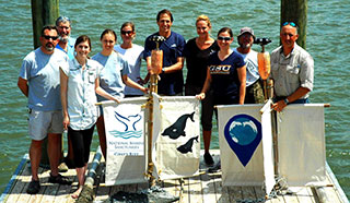
Photo: Gray's Reef
You can follow the drifter's tracks on a Google map and find out where they go with data available for use in the classroom or research projects.
These student-drifters are constructed by participating educators from basic materials found in local hardware stores and the GPS satellite transmitter tracking and mapping was coordinated through NOAA's Fisheries Science Center.
Georgia Southern University and Gray's Reef National Marine Sanctuary staff conduct drifter building workshops with educators to develop ocean current and watershed studies into classroom lesson plans.
This year Georgia Southern University plans to develop a How To Build Ocean Drifters Guide along with an instructional video for duplication of the drifter study.

Photo: Gray's Reef

Photo: Gray's Reef

